expo-arcgis
The ArcGIS SDK,
rewritten as components.
2D & 3D maps, layers, geometry, editing, query, geocoding, routing, analysis, offline and real-time — for React Native, faithful to the ArcGIS object model.
$ npx expo install expo-arcgis A component tree that mirrors the object model.
A <Map> model lives inside a <MapView> host, with layers and graphics as children. If you know ArcGIS, you already know the API.
// a Map model inside a MapView host
<MapSettings config={{ apiKey }}>
  <Map
    basemap="arcGISTopographic"
    initialViewpoint={viewpoint}
  >
    <MapView style={{ flex: 1 }} />
  </Map>
</MapSettings>
2D & 3D, every layer type
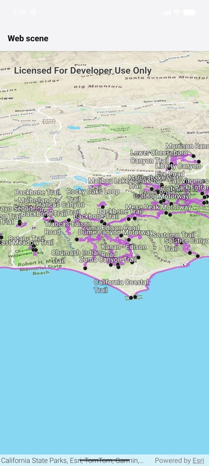
<MapView> and <SceneView> host the full ArcGIS layer set inside declarative <GroupLayer> containers.
Declarative & SDK-faithful
A component API that mirrors the ArcGIS object model — a <Map> model inside a <MapView> host, with layers and graphics as children. If you know ArcGIS, you already know the API.
Everything in the box
Query, identify, popups, batch & related editing with attachments, geocoding (with suggestion round-trip), routing & turn-by-turn navigation, 3D viewshed / line-of-sight / measurement, geoprocessing, utility networks, real-time dynamic-entity tracking, offline maps and authentication.
Genuinely native
A Kotlin (Android) + Swift (iOS) bridge over ArcGIS Maps SDK 300. Not Expo Go — use a development build.
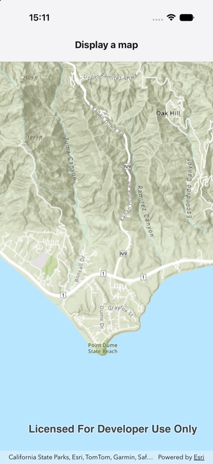
The same components. Real native maps.
Native iOS & Android maps, rendered by the SDK.