Buffer
Geodesic buffer and coordinate formatting.
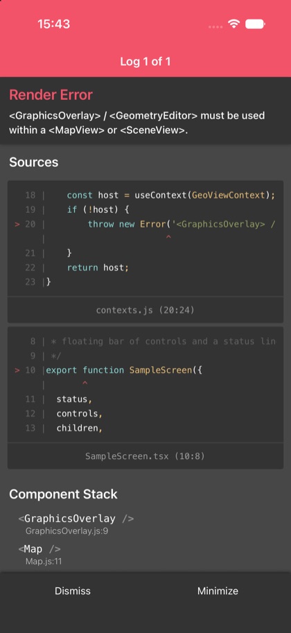
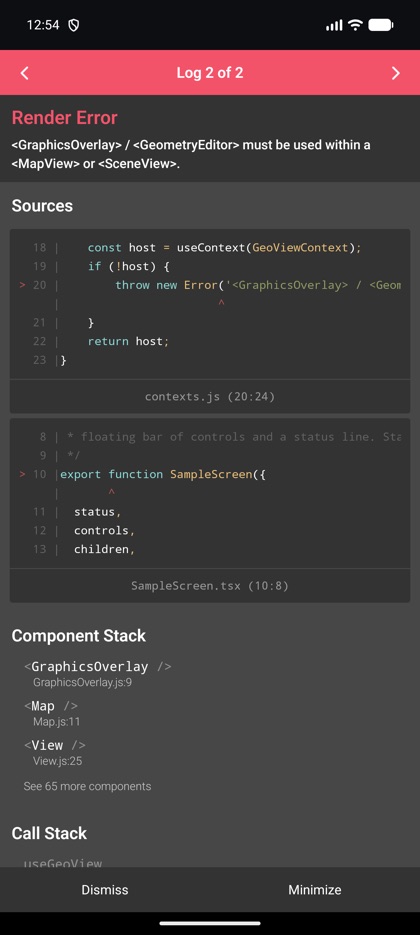
This is the real source of the example app’s buffer screen — run it on a device
or simulator to see it live.
import {  Graphic,  GraphicsOverlay,  Map,  MapView,  coordinateFormatter,  geometryEngine,  type Geometry,  type TapEventPayload,} from 'expo-arcgis';import { useState } from 'react';
import { SampleScreen } from '../../src/SampleScreen';
/** Computes a geodesic buffer around the tapped point and reads its lat/long (GeometryEngine + CoordinateFormatter). */export default function Buffer() {  const [buffer, setBuffer] = useState<Geometry | null>(null);  const [status, setStatus] = useState('Tap the map to buffer a point.');
  function onTap(point: { latitude: number; longitude: number }) {    const geometry = { type: 'point' as const, x: point.longitude, y: point.latitude };    setBuffer(geometryEngine.geodesicBuffer(geometry, 500, 'meters'));    const dms = coordinateFormatter.toLatitudeLongitude(geometry, 'degreesMinutesSeconds', 1);    setStatus(`${dms ?? '—'} · 500 m buffer`);  }
  return (    <SampleScreen status={status}>      <Map basemap="arcGISTopographic" initialViewpoint={{ latitude: 34.0, longitude: -118.81, scale: 100_000 }}>        <GraphicsOverlay>          {buffer && (            <Graphic              geometry={buffer}              symbol={{ type: 'simple-fill', color: '#34c75955', outline: { color: '#34c759', width: 2 } }}            />          )}        </GraphicsOverlay>        <MapView          style={{ flex: 1 }}          onTap={(event: { nativeEvent: TapEventPayload }) => onTap(event.nativeEvent.mapPoint)}        />      </Map>    </SampleScreen>  );}