Service area
Drive-time reachable-area polygons from a facility.
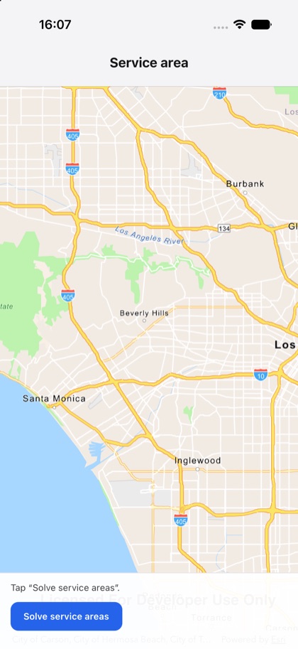
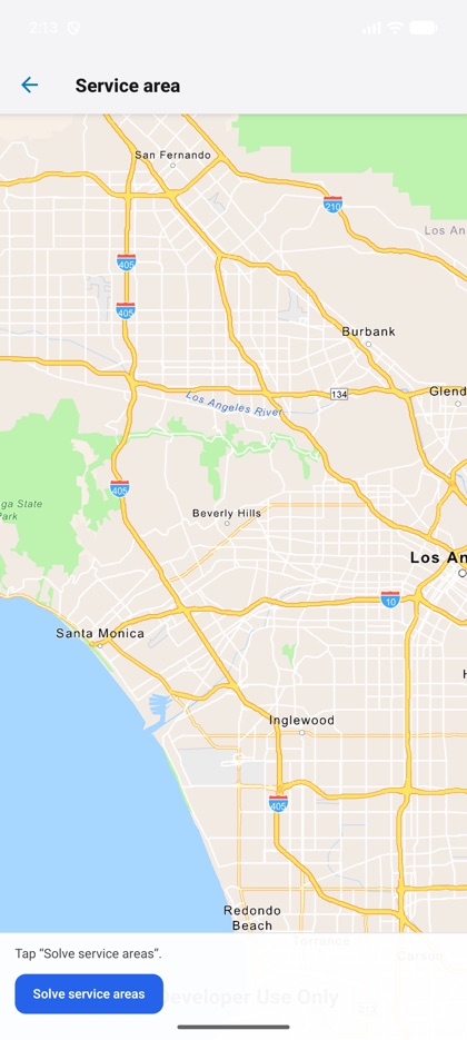
This is the real source of the example app’s service-area screen — run it on a device
or simulator to see it live.
import { Graphic, GraphicsOverlay, Map, MapView, serviceArea, type Geometry } from 'expo-arcgis';import { useState } from 'react';import { Button } from '../../components/ui/button';
import { SampleScreen } from '../../src/SampleScreen';
// Esri World Service Areas (network analysis) service — needs an API key (applied via <MapSettings>).const SERVICE_AREA_URL =  'https://route-api.arcgis.com/arcgis/rest/services/World/ServiceAreas/NAServer/ServiceArea_World';
// Lightest ring first so the nested cutoffs stay visible.const FILLS = ['#5856d611', '#5856d622', '#5856d644'];
/** Computes 5 / 10 / 15-minute drive-time areas from a facility (serviceArea namespace). */export default function ServiceArea() {  const [polygons, setPolygons] = useState<Geometry[]>([]);  const [status, setStatus] = useState('Tap “Solve service areas”.');
  async function solve() {    setStatus('Solving…');    try {      const { polygons: result } = await serviceArea.solve({        serviceUrl: SERVICE_AREA_URL,        facilities: [{ type: 'point', x: -118.4, y: 34.05 }],        cutoffs: [5, 10, 15],      });      // Largest cutoff first so smaller rings draw on top.      setPolygons([...result].sort((a, b) => b.toCutoff - a.toCutoff).map((p) => p.geometry));      setStatus(`${result.length} reachable-area ring(s)`);    } catch (e) {      setStatus(`Error: ${String(e)}`);    }  }
  return (    <SampleScreen status={status} controls={<Button title="Solve service areas" onPress={solve} />}>      <Map basemap="arcGISNavigation" initialViewpoint={{ latitude: 34.05, longitude: -118.4, scale: 300_000 }}>        <MapView style={{ flex: 1 }}>          <GraphicsOverlay>            {polygons.map((geometry, i) => (              <Graphic                key={i}                geometry={geometry}                symbol={{ type: 'simple-fill', color: FILLS[i % FILLS.length], outline: { color: '#5856d6', width: 1 } }}              />            ))}          </GraphicsOverlay>        </MapView>      </Map>    </SampleScreen>  );}