Geometry editor
Interactively sketch geometry and measure it.
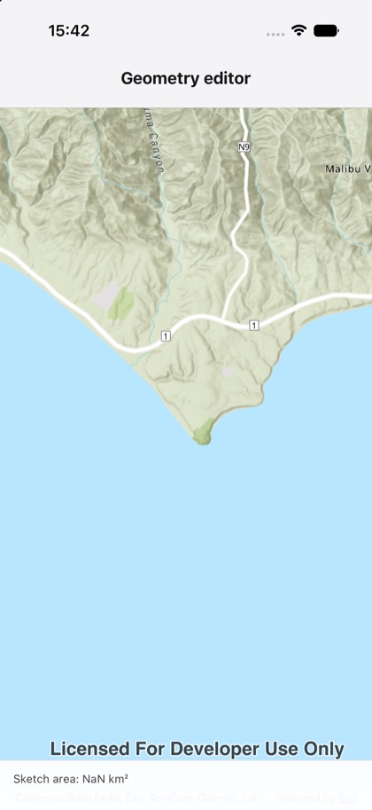
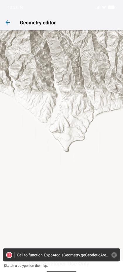
This is the real source of the example app’s geometry-editor screen — run it on a device
or simulator to see it live.
import { GeometryEditor, Map, MapView, geometryEngine } from 'expo-arcgis';import { useState } from 'react';
import { SampleScreen } from '../../src/SampleScreen';
/** Interactive sketching with the `<GeometryEditor>` — reports the drawn polygon's geodesic area. */export default function GeometryEditorSample() {  const [status, setStatus] = useState('Sketch a polygon on the map.');
  return (    <SampleScreen status={status}>      <Map basemap="arcGISTopographic" initialViewpoint={{ latitude: 34.0, longitude: -118.81, scale: 80_000 }}>        <MapView style={{ flex: 1 }}>          <GeometryEditor            type="polygon"            tool="freehand"            onGeometryChange={(geometry) => {              if (!geometry) return;              const area = Math.abs(geometryEngine.geodesicArea(geometry, 'squareMeters'));              setStatus(`Sketch area: ${(area / 1e6).toFixed(3)} km²`);            }}          />        </MapView>      </Map>    </SampleScreen>  );}