Tile cache estimate
Estimate a tile-cache download size before exporting.
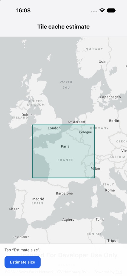
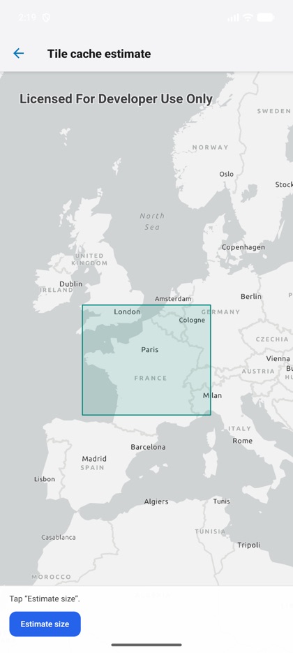
This is the real source of the example app’s tile-cache-estimate screen — run it on a device
or simulator to see it live.
import { Graphic, GraphicsOverlay, Map, MapView, offline, type Geometry } from 'expo-arcgis';import { useState } from 'react';import { Button } from '../../components/ui/button';
import { SampleScreen } from '../../src/SampleScreen';
// A tiled map service that supports tile-cache export.const TILE_SERVICE = 'https://sampleserver6.arcgisonline.com/arcgis/rest/services/SampleWorldCities/MapServer';
// The rectangle to estimate (a small area over western Europe).const AREA: Geometry = {  type: 'polygon',  points: [    { x: -5, y: 52 },    { x: 9, y: 52 },    { x: 9, y: 44 },    { x: -5, y: 44 },  ],};
/** Estimates a tile-cache download size BEFORE exporting (offline.estimateTileCacheSize). */export default function TileCacheEstimate() {  const [status, setStatus] = useState('Tap “Estimate size”.');
  async function estimate() {    setStatus('Estimating…');    try {      const { fileSizeBytes, tileCount } = await offline.estimateTileCacheSize({        serviceUrl: TILE_SERVICE,        area: AREA,      });      setStatus(`${(fileSizeBytes / 1_000_000).toFixed(1)} MB · ${tileCount.toLocaleString()} tiles`);    } catch (e) {      setStatus(`Error: ${String(e)}`);    }  }
  return (    <SampleScreen status={status} controls={<Button title="Estimate size" onPress={estimate} />}>      <Map basemap="arcGISLightGray" initialViewpoint={{ latitude: 48, longitude: 2, scale: 30_000_000 }}>        <MapView style={{ flex: 1 }}>          <GraphicsOverlay>            <Graphic              geometry={AREA}              symbol={{ type: 'simple-fill', color: '#00897b22', outline: { color: '#00897b', width: 1.5 } }}            />          </GraphicsOverlay>        </MapView>      </Map>    </SampleScreen>  );}