Raster function
Apply an on-the-fly Hillshade raster function to an image service.
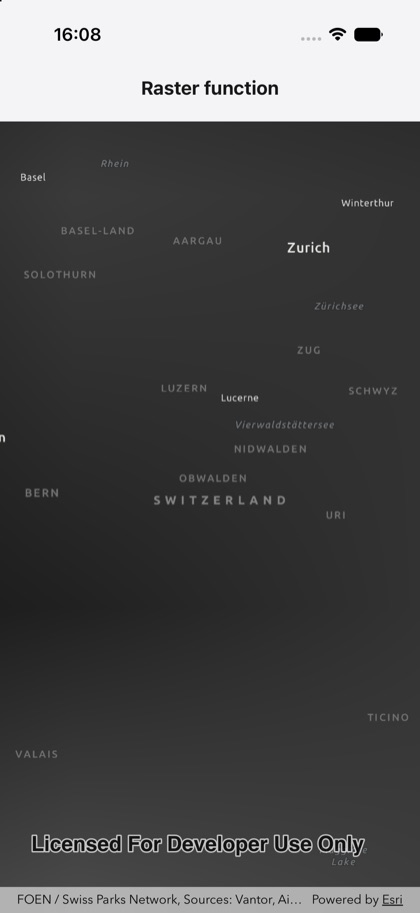
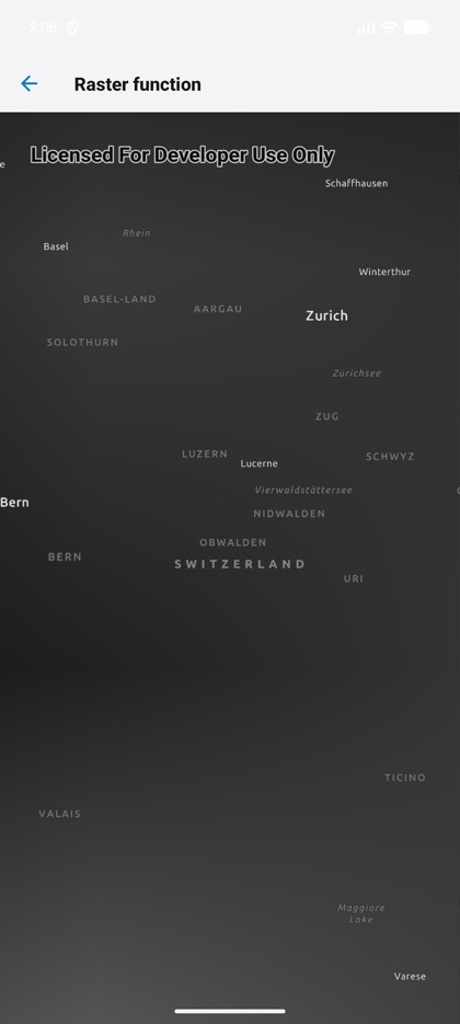
This is the real source of the example app’s raster-function screen — run it on a device
or simulator to see it live.
import { Map, MapView, RasterLayer } from 'expo-arcgis';
// Esri World Elevation image service.const ELEVATION = 'https://elevation3d.arcgis.com/arcgis/rest/services/WorldElevation3D/Terrain3D/ImageServer';
// A Hillshade raster function — computed on-the-fly from the elevation raster (the source raster is// wired in as the function's raster argument by the native layer).const HILLSHADE = JSON.stringify({  rasterFunction: 'Hillshade',  rasterFunctionArguments: { Azimuth: 315, Altitude: 45, ZFactor: 1 },  outputPixelType: 'U8',});
/** Applies an on-the-fly Hillshade `rasterFunction` to an elevation image service. */export default function RasterFunction() {  return (    <Map basemap="arcGISDarkGray" initialViewpoint={{ latitude: 46.8, longitude: 8.2, scale: 1_500_000 }}>      <RasterLayer source={{ type: 'imageService', url: ELEVATION }} rasterFunction={HILLSHADE} />      <MapView style={{ flex: 1 }} />    </Map>  );}