Viewshed
Draw what is visible from an observer over terrain.
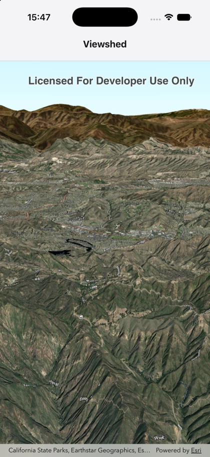
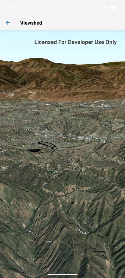
This is the real source of the example app’s viewshed screen — run it on a device
or simulator to see it live.
import { AnalysisOverlay, Scene, SceneView, Viewshed, type Camera, type Surface } from 'expo-arcgis';
const CAMERA: Camera = {  position: { x: -118.804, y: 34.0, z: 5330 },  heading: 355,  pitch: 72,  roll: 0,};
const ELEVATION: Surface = {  elevationSources: [    { url: 'https://elevation3d.arcgis.com/arcgis/rest/services/WorldElevation3D/Terrain3D/ImageServer' },  ],  elevationExaggeration: 2.5,};
/** Draws an exploratory viewshed (what's visible from an observer) over 3D terrain. */export default function ViewshedSample() {  return (    <Scene basemap="arcGISImagery" camera={CAMERA} surface={ELEVATION}>      <SceneView style={{ flex: 1 }}>        <AnalysisOverlay>          <Viewshed            location={{ type: 'point', x: -118.80657, y: 34.00059, z: 1200 }}            heading={0}            pitch={70}            horizontalAngle={120}            verticalAngle={90}            minDistance={50}            maxDistance={4000}          />        </AnalysisOverlay>      </SceneView>    </Scene>  );}