Offline map areas
Download a web map’s areas and open one offline in the map view.
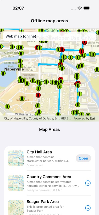
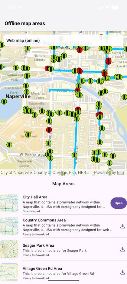
This is the real source of the example app’s toolkit/offline-map-areas screen — run it on a device
or simulator to see it live.
import { useRef, useState } from 'react';import { Pressable, StyleSheet, Text, View } from 'react-native';import { Map, MapView, type MapRef } from 'expo-arcgis';import { OfflineMapAreas, type OfflineMapAreasHandle } from 'expo-arcgis-toolkit';
// The offline-enabled web map of the Toolkit's offline map areas examples (Naperville water network).const WEB_MAP_ID = 'acc027394bc84c2fb04d1ed317aac674';
/** * The ArcGIS Toolkit's offline map areas below the map: download a preplanned area, open it, and the * map view shows the offline map it hands out (`<MapView map>`). "Go online" returns to the web map. */export default function OfflineMapAreasSample() {  const areas = useRef<OfflineMapAreasHandle>(null);  const [offlineMap, setOfflineMap] = useState<MapRef | null>(null);  return (    <View style={{ flex: 1 }}>      <Map portalItem={{ itemId: WEB_MAP_ID }}>        <MapView map={offlineMap} style={{ flex: 1 }}>          <View style={styles.banner}>            <Text style={styles.text}>{offlineMap ? 'Offline map area' : 'Web map (online)'}</Text>            {offlineMap && (              <Pressable style={styles.button} onPress={() => areas.current?.goOnline()}>                <Text style={styles.buttonText}>Go online</Text>              </Pressable>            )}          </View>        </MapView>        <OfflineMapAreas ref={areas} onSelectionChange={setOfflineMap} style={styles.panel} />      </Map>    </View>  );}
const styles = StyleSheet.create({  panel: { height: 380, backgroundColor: 'white' },  banner: {    position: 'absolute',    top: 12,    left: 12,    right: 12,    padding: 10,    borderRadius: 10,    flexDirection: 'row',    alignItems: 'center',    justifyContent: 'space-between',    backgroundColor: 'rgba(255, 255, 255, 0.92)',  },  text: { fontSize: 15, fontWeight: '600', color: '#1f2937' },  button: { paddingHorizontal: 10, paddingVertical: 6, borderRadius: 8, backgroundColor: '#2563eb' },  buttonText: { color: 'white', fontWeight: '600' },});